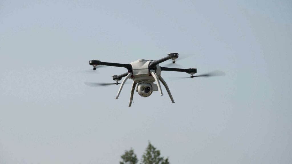
As property tax assessments become more sophisticated, so do the tools property owners can use to challenge them. One increasingly popular method is drone photography capturing aerial images of your property to provide detailed, up-to-date evidence during a drone photography property tax protest. But is this approach truly effective, or just a flashy extra?
At TexasPVP, we explore and evaluate every strategy that can strengthen your case. Here’s what you need to know about using drone imagery during your property tax protest in the context of a drone photography property tax protest.
Why Visual Evidence Matters in a Protest
When you’re challenging a property valuation, it’s your responsibility to prove the appraisal district’s assessment is too high. The most effective protests, including those involving drone photography property tax protest, often include:
- Market comparables
- Condition-based photos
- Repair estimates or reports
- Equity comparisons with similar properties
Aerial photography can add valuable context, especially in cases where:
- Damage or obstructions are not visible from the street
- Topography or terrain affects land usability
- Encroachments or easements impact value
- Large commercial properties have structural or usage complexity
What Drone Photos Can Reveal
Drone images can offer a bird’s-eye view of:
- Roof condition
- Overall property layout
- Proximity to undesirable features (e.g., power lines, highways, retention ponds)
- Flood-prone areas
- Undeveloped or unusable land portions
This can be especially helpful if the appraisal district is using outdated aerial maps or generic land assumptions, which can be contested through a drone photography property tax protest.
When Drone Photography Is Worth It
Using drone imagery may be particularly valuable when:
- You own large parcels of land or commercial property
- Your property has unique layout issues affecting its usability
- Damage is not visible at ground level
- The appraisal district is relying on outdated imagery
In residential cases, drone footage may be less essential unless you’re dealing with topographic issues, recent structural changes, or location-related depreciation.
Legal and Privacy Considerations
Texas law permits drone usage over your own property, but there are limits:
- You must not capture images of neighboring private property without consent
- Follow FAA regulations, including altitude restrictions and no-fly zones
- It’s best to hire a licensed drone operator to ensure compliance
How TexasPVP Uses Visual Documentation
At TexasPVP, we often advise our clients to include visual evidence in their protest packages, and in select cases, drone footage can strengthen a claim, especially during a drone photography property tax protest. We:
- Help you determine if drone photography adds strategic value
- Coordinate with licensed drone operators if needed
- Incorporate images into your protest submission to enhance credibility
We never recommend unnecessary services — but when visuals can give your protest an edge, we’ll guide you through the process.
The Bottom Line
Drone photography can be a powerful tool when used appropriately. It won’t apply to every case, but for larger or more complex properties, it can uncover details that written data alone can’t capture.
If you’re unsure whether drone images would help your protest, TexasPVP is here to evaluate your situation and recommend the most effective strategy for your property, particularly in the context of a drone photography property tax protest.
Ready to build a stronger protest with better evidence? Contact TexasPVP today to learn more.